

A station was opened by the West London Railway as its southern terminus on 27 May 1844 as "Kensington", just south of Hammersmith Road; it closed at the end of November 1844 due to the losses made. A scant and erratic goods service continued, the line re-opened to passengers with a new station called "Addison Road" on 2 June 1862, to the north of Hammersmith Road. Great Western Railway trains started serving the station in 1863, with London & North Western Railway trains arriving in 1872. A link to the Hammersmith & City Railway enabled the "Middle Circle" service to operate via Paddington to the north and South Kensington to the south. From 1869, the London & South Western Railway operated trains from Richmond to London Waterloo via Addison Road, until their branch via Shepherd's Bush closed in 1916. By 1907 the Middle Circle had been replaced by four Hammersmith & City line trains an hour. The station appears on the first 'London Underground' map in 1908 with Metropolitan and District Railway services. The West London Line has always been a main freight route from north of London to the south-east of England, but passenger services at Kensington (Olympia) were minimal-although it was used briefly as a terminus for Western Region trains in 1967 during resignalling work at London Paddington. Until 1986, the only British Rail trains were the peak-hour shuttle service to Clapham Junction (operated by Western Region diesel trains) on the Southern Region and Motorail services; occasional inter-regional InterCity workings also ran through without stopping. London Underground ran a shuttle train from Earl's Court only when an exhibition was on at Olympia. From 12 May 1986, services at the station were greatly enhanced. In the event of nuclear war seeming imminent, the station was the designated London muster point for staff in transit to the Central Government War Headquarters (codenamed "Burlington").
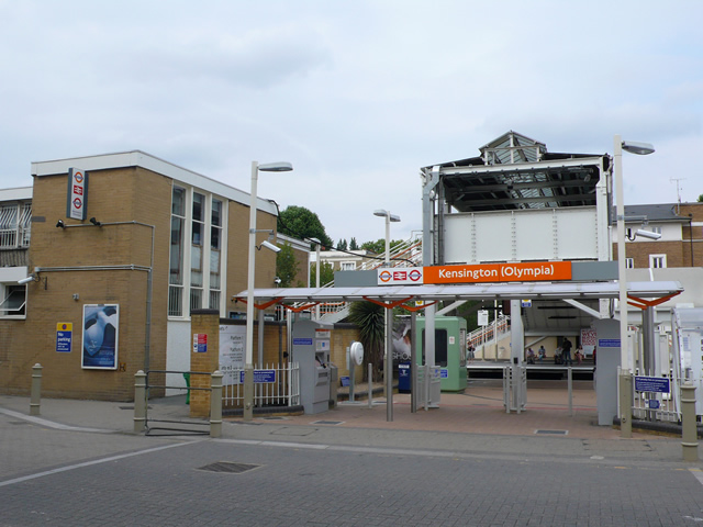
The ticket office was refurbished in 2011 with the upholstered seating, plants and lighting removed. A new double door entrance directly from the ticket office to the platform was installed and the old adjoining covered entrance was bricked up. People were still able to reach the footbridge from the alleyway by the side of the building and through the metal gate adjacent to it, avoiding a longer walk via the platforms. In 2012 the refurbished ticket office was closed and the entrance to the toilets from there blocked off. A new ticket office resembling a small Portakabin was built on the platform opposite the District line platform and the gate to the footbridge padlocked. The public toilets were made accessible from the doors to platform 2. The station appears in some National Rail maps and timetables as Kensington Olympia but on London Underground and London Overground maps and station signage as Kensington (Olympia) (also used on the latest National Rail "London Connections" map). The variant with brackets is in the London Railway Atlas, published by Ian Allan in 2009. On the automated announcements and the dot matrix indicators on District line trains, the station is shown as Olympia. Although painted over, 'Addison Road Station' appears sculpted into a wall on the eastern pedestrian exit from the station. The London Overground services in trains per hour are: 4 northbound to Willesden Junction, of which 2 continue to Stratford. 4 southbound to Clapham Junction. The station is in Travelcard Zone 2 and has a car park, wi-fi, bridge, payphones, boarding ramps, cash machines and toilets.
Connections: National Rail. District Line. London Buses routes 9, 10, 27, 28, 49, 391, C1 and night routes N9, N28 and National Express coach routes 701/702 serve and pass the station.
