Previously a station existed almost on the same site as the present Shepherd's Bush station. Uxbridge Road station was opened in 1869 by London & North Western Railway and the Great Western Railway on the Middle Circle route. In 1905 the line became branch of the Metropolitan Railway, and later London Underground's Metropolitan line. Uxbridge Road was closed in 1940 after the line was bombed several times during the Blitz. In 2005, construction began on a major redevelopment project in the White City area, including the large-scale Westfield Shopping Centre, developed by the Westfield Group. Building work on the West London Line station began in early 2006 and it was due to open in summer 2007. Although largely completed on time, the station was unable to open due to the northbound platform being 18 inches (460 mm) too narrow to comply with railway safety regulations, based on the anticipated number of passengers using the station. Following remedial reconstruction work on the platform, the station finally opened on 28 September 2008.
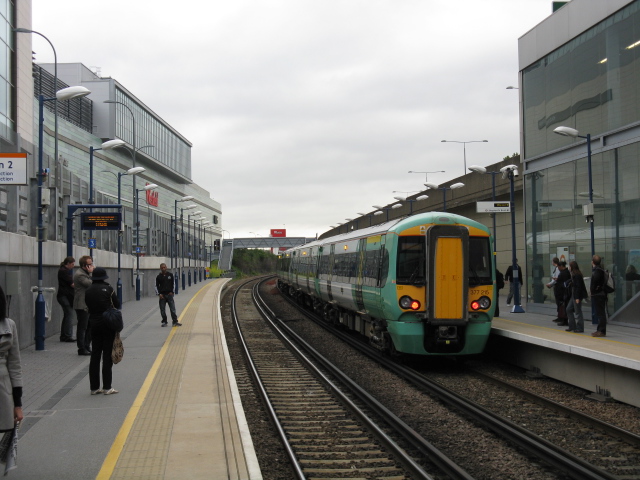
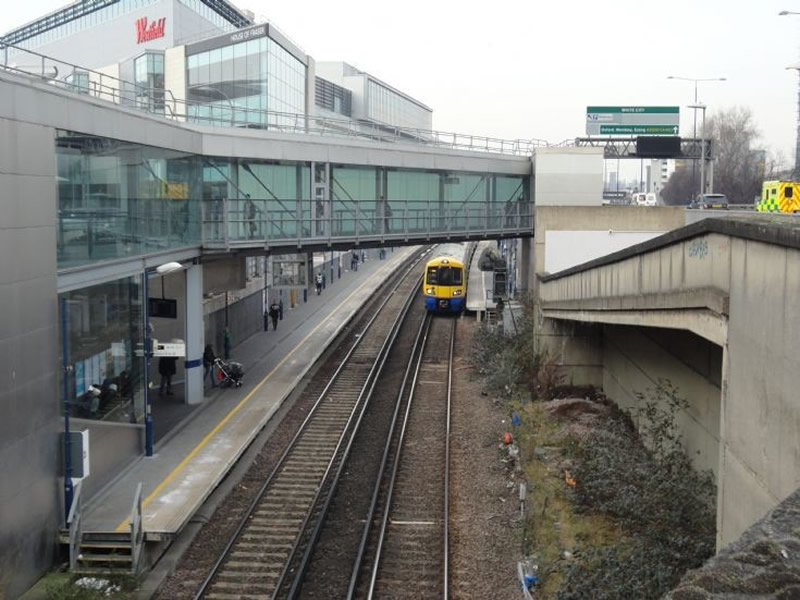
In April 2015 the station platforms were extended to accommodate longer, 8-car Southern trains, and a footbridge and a new entrance were constructed at the northern end of the station to ease passenger flows. The £1.35m station upgrade work was supported with £3.9 million from the Westfield Shopping Centre and the platform lengthening was part of a nine-month, £25 million project funded by Network Rail to extend platforms along the West London Line. Westfield London is a shopping centre in White City, next to the station. The centre was developed by the Westfield Group at a cost of £1.6bn, on a site bounded by the West Cross Route (A3220), the Westway (A40) and Wood Lane (A219). It opened on 30 October 2008 and became the largest covered shopping development in the capital, dethroning the Whitgift Centre in Croydon. The site is part of the White City district, where several other large scale development projects are under way or in the planning stages. The development is on a large brownfield site, part of which was once the location of the 1908 Franco-British Exhibition; the initial site clearance demolished the set of halls still remaining from the exhibition (their cheap-to-build, white-painted blank facades are said to be the origin of the name "White City"). Much of the site was in use as a railway depot excavated to a lower level and built over. The centre is noted for its size: it has a retail floor area of 150,000 m² (1.615m ft²), the equivalent of about 30 football pitches. At the time of its opening it was reported to be the second largest commercial centre in the UK (after MetroCentre near Newcastle). The station is in Travelcard Zone 2 and has help points, boarding ramps, and cash machines but no toilets.
Connections: National Rail. Central Line. London Buses routes 31, 49, 72, 94, 95, 148, 207, 220, 228, 237, 260, 272, 283, 295, 316, 607 and C1 and night route N207 serve the station and bus station.
